load_historical_data
-
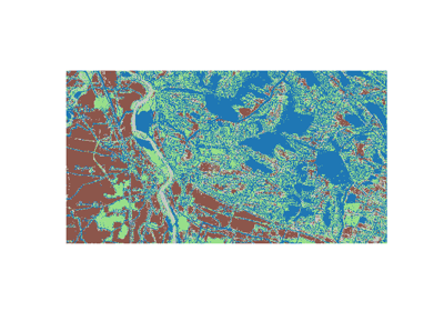
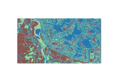
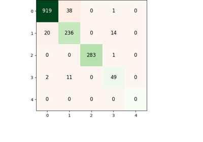
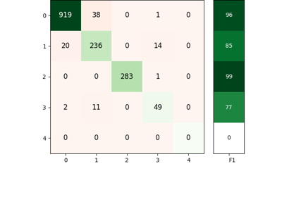
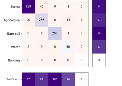
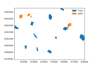
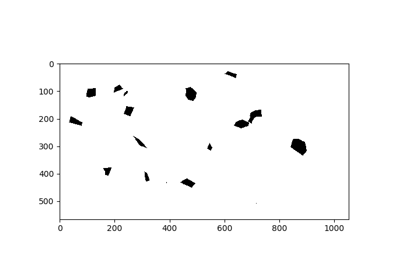
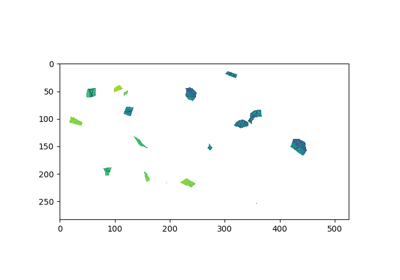
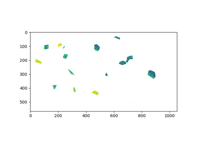
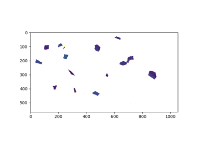
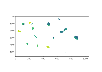
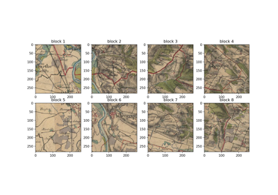
museotoolbox.datasets.load_historical_data(return_X_y=False, return_X_y_g=False, centroid=False, low_res=False)[source]¶ Get a sample of a french Historical map made by the army (carte d’état-major). These maps are used to identify forest in the 1800’s.
Field of the vector containning the label class is Class.
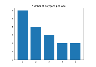
Classes
5
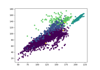
Samples total
12647
Number of polygons
17
Dimensionality
3
Features
integer
- Parameters
return_X_y (boolean, default=False.) – If True, returns
(data, target)instead of a path of files.centroid (boolean, default=False.) – If True, return the path of the centroid for each feature.
- Returns
raster,vector (list of str.) – Return path of raster and vector files.
(data, target) (tuple if
return_X_yis True)
References
https://github.com/nkarasiak/HistoricalMap
Examples
>>> X, y = load_historical_data(return_X_y=True)
>>> X.shape, y.shape
(12647, 3) (12647,)
>>> raster,vector = load_historical_data()
>>> raster
/mnt/DATA/lib/MuseoToolBox/museotoolbox/datasets/_historicalmap/map_compress.tif
>>> vector
/mnt/DATA/lib/MuseoToolBox/museotoolbox/datasets/_historicalmap/train.gpkg